Start with the official map
Download the Dundee Law Heritage Project’s Town to Top map, which starts at City Square and follows signed footways and steps. Use those directions rather than choosing a steep line uphill from a phone pin alone. Carry the map offline so a weak connection does not turn the return walk into guesswork.
Climb with enough energy for the way back
The project describes a mile-long route to the top; stops, steps and your walking pace will shape the real duration. Wear shoes with grip and keep the day bag light. If the group is already tired after a museum visit, move the climb to the next morning instead of treating the descent as an afterthought.
Read the city from the summit
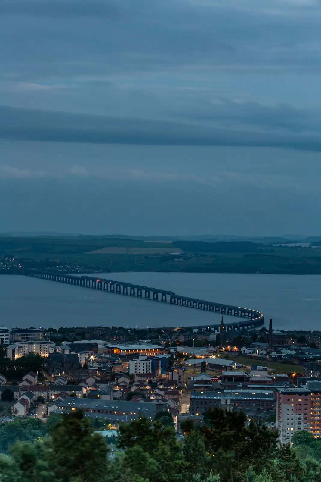
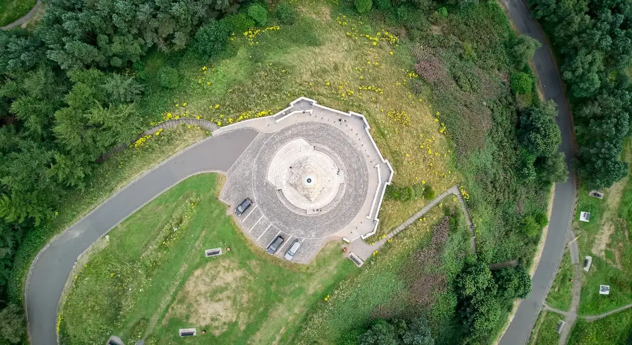
At the observation point, pick out the Tay crossing and the waterfront before looking inland towards the hills. The war memorial provides the summit’s main built landmark. A clear day is the reason to come: if cloud or heavy rain obscures the view, the same effort may be better spent on a museum outing.
Use the paths without chasing every trail
You can explore more of the hill’s paths and interpretation after the viewpoint, but keep an eye on weather and remaining daylight. Longer wandering is optional, especially in winter. Pack a windproof layer even in summer; standing still at an exposed summit is different from warming up during the climb.
Choose a useful lower-effort day
If steps or the gradient do not suit you, enjoy the Tay from the waterfront and use The McManus for city stories instead. That makes a coherent day without the hill. Check the museum’s current accessibility notice before travelling if a lift is essential; its visit page sometimes carries temporary service updates.
Check before you go
Opening arrangements and visitor rules can change. Check the official information before your trip.